
State parks
State parks near Traverse City: 2026 guide
14 state parks and recreation areas within 60 miles, closest first, with drive times and what is mapped inside each.
Keith J. Charters Traverse City State Park is the closest state park to Traverse City, 4 mi southeast · 10 min drive (5 road mi). 14 state parks and recreation areas lie within 60 miles, 4 of them within an hour's drive.
Updated November 2026
Where the parks are
Map of 14 places loads as you scroll.
14 state parks within 60 miles
Straight-line distance from the center of Traverse City, then the typical drive without live traffic.

Keith J. Charters Traverse City State Park
Mapped inside: 1 campground, 2 beaches and 1 playground.

Interlochen State Park
Mapped inside: 4 campgrounds, 1 viewpoint and 2 playgrounds.
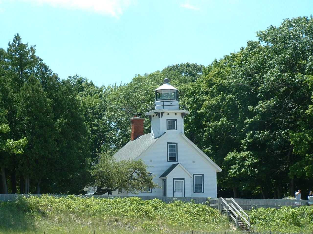
Old Mission State Park
Leelanau State Park
Mapped inside: 1 campground, 1 viewpoint, 2 picnic sites and 2 playgrounds.

William Mitchell State Park
Mapped inside: 1 campground, 2 beaches and 1 picnic site.

Fisherman's Island State Park
Mapped inside: 2 campgrounds and 1 picnic site.

Tippy Dam State Recreation Area
Mapped inside: 1 campground, 1 boat ramp and 1 visitor center.


North Higgins Lake State Park
Mapped inside: 1 campground, 1 picnic site and 1 playground.

Hartwick Pines State Park
Mapped inside: 1 cabin, 2 boat ramps and 1 playground.
Otsego Lake State Park
Mapped inside: 2 beaches and 2 playgrounds.

Orchard Beach State Park
Mapped inside: 1 campground.

South Higgins Lake State Park
Mapped inside: 2 boat ramps.

Petoskey State Park
Mapped inside: 3 campgrounds, 1 beach, 1 trailhead, 1 picnic site, 1 playground and 1 visitor center.
How this list is built
Every park, recreation area, beach or natural area that OpenStreetMap names as a state unit and maps within 60 miles of the center of Traverse City, closest first. Places across open water with a much longer drive are left out. The features line counts campgrounds, boat ramps, beaches, trailheads and picnic sites mapped inside the park boundary, so a blank line means nothing is mapped yet, not that the park has none.
Questions
What state parks are near Traverse City?
Keith J. Charters Traverse City State Park (4 miles), Interlochen State Park (12 miles), Old Mission State Park (16 miles), Leelanau State Park (29 miles) and William Mitchell State Park (37 miles) are the closest of the 14 state parks listed here, all within 60 miles of the center of Traverse City.
What is the closest state park to Traverse City?
Keith J. Charters Traverse City State Park, about 4 miles southeast of the center of Traverse City, a 10 min drive in typical traffic.
Which state parks near Traverse City have camping?
OpenStreetMap shows campgrounds or cabins inside Keith J. Charters Traverse City State Park, Interlochen State Park, Leelanau State Park, William Mitchell State Park, Fisherman's Island State Park and 6 more. Reservations and seasons are set by each state park system.
Which state parks near Traverse City have a beach or boat ramp?
Keith J. Charters Traverse City State Park, William Mitchell State Park, Tippy Dam State Recreation Area, Hartwick Pines State Park, Otsego Lake State Park and 2 more have a mapped boat ramp, beach or swimming area.
How many state parks are within an hour of Traverse City?
4 of the 14 parks listed here are within a 60 minute drive of the center of Traverse City in typical traffic, by OSRM routing.
Where does this list come from?
State park boundaries and features from OpenStreetMap, photos and links from Wikidata and Wikimedia Commons, and drive times from OSRM, checked November 2026. Fees, hours and closures come from each state park system.
Sources: © OpenStreetMap contributors (ODbL), Wikidata (CC0), photos from Wikimedia Commons credited below, and OSRM drive times, checked November 2026. Check each park's official page for fees, hours and closures before you go.