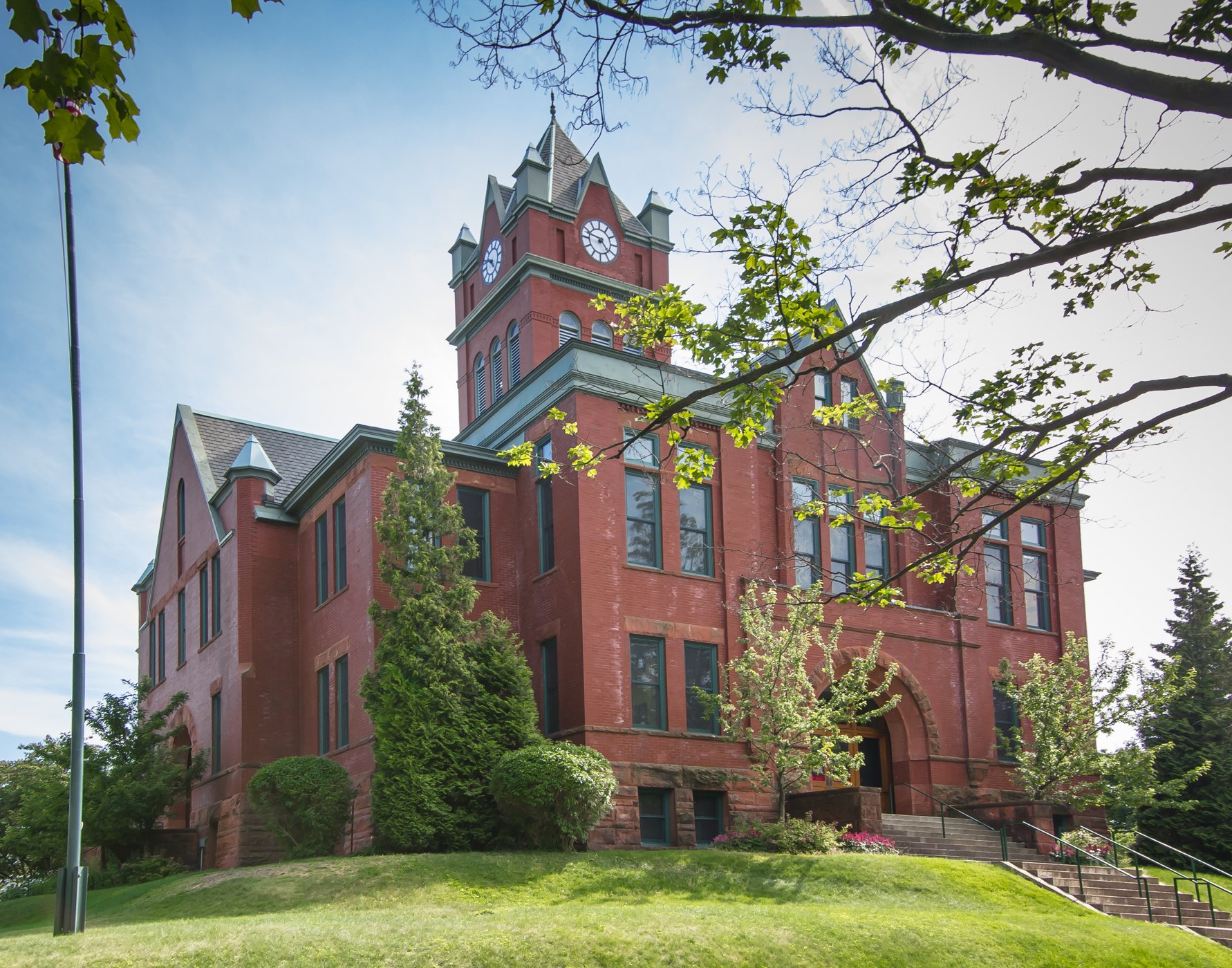
Grand Traverse County Courthouse in Traverse City

Outdoors

Swimming holes and lakes near Traverse City

Lakes, rivers and beaches near Traverse City where swimming is allowed on public land.

18places to swim
23 mito the closest
3within 30 miles
June–Augustbest months

Good to know: Most natural swimming areas have no lifeguard; check water-quality advisories and current conditions before swimming.

Closest picks

1

Sleeping Bear Dunes National Lakeshore

23 mi northwest · National Park Service

Miles of sand beach, bluffs that tower 450’ above Lake Michigan, lush forests, clear inland lakes, unique flora and fauna make up the natural world of Sleeping Bear Dunes. High dunes afford spectacular views across the lake.
2

White Pine Backcountry Campground Permits

23 mi west · National Park Service

White Pine Backcountry Campground is a primitive camp located in the southern district of Sleeping Bear Dunes National Lakeshore, on the lower peninsula of Michigan.

3

Platte River Campground

25 mi west · National Park Service

Platte River Campground is located in the southern district of Sleeping Bear Dunes National Lakeshore, on the lower peninsula of Michigan. This year-round facility is one of the most popular campgrounds in the park.

Map of all 18 places

Map of 18 places loads as you scroll.

Within 30 miles (3)

23 mi northwest · National Park Service

Sleeping Bear Dunes National Lakeshore

Miles of sand beach, bluffs that tower 450’ above Lake Michigan, lush forests, clear inland lakes, unique flora and fauna make up the natural world of Sleeping Bear Dunes. High dunes afford spectacular views across the lake.

  • Biking
  • Camping
  • Fishing
  • Hiking
  • Hunting
  • Paddling
  • Swimming

23 mi west · National Park Service · Campground

White Pine Backcountry Campground Permits

White Pine Backcountry Campground is a primitive camp located in the southern district of Sleeping Bear Dunes National Lakeshore, on the lower peninsula of Michigan.

  • Backpacking
  • Birding
  • Camping
  • Fishing
  • Hiking
  • Photography
  • Picnicking
  • Star Gazing

25 mi west · National Park Service · Campground

Platte River Campground

Platte River Campground is located in the southern district of Sleeping Bear Dunes National Lakeshore, on the lower peninsula of Michigan. This year-round facility is one of the most popular campgrounds in the park.

  • Amphitheater
  • Biking
  • Birding
  • Camping
  • Canoeing
  • Evening Programs
  • Fishing
  • Hiking

30 to 75 miles (9)

35 mi south · USDA Forest Service · Campground

Upper Manistee River Backcountry Campsites

The Upper Manistee dispersed campsites are primitive campsites on the Manistee River Backwaters of Tippy Dam Pond, located along the banks of the Manistee River between Tippy Dam and Hodenpyl Dam.

  • Birding
  • Boating
  • Camping
  • Canoeing
  • Fishing
  • Hiking
  • Kayaking
  • Motor Boat

39 mi south · USDA Forest Service

Huron-Manistee National Forests

Lying between the shores of Lake Michigan and Lake Huron in the northern half of the Lower Peninsula of Michigan, is the nearly one-million-acre Huron-Manistee National Forests.

  • Biking
  • Boating
  • Camping
  • Fishing
  • Hiking
  • Horse Camping
  • Horseback riding
  • Off-highway vehicles

40 mi south · USDA Forest Service · Campground

Peterson Bridge

Peterson Bridge Campground is located on the Pine River in Michigan’s Manistee National Forest. The location on the river makes it ideal for canoeists and those looking to experience the adventure of this swift moving river.

  • Accessible Swimming
  • Camping
  • River Trips

44 mi south · USDA Forest Service · Campground

Sand Lake Campground

Sand Lake Campground is situated on the scenic shores of Sand Lake and provides a selection of sites shaded by a mixed hardwood forest. Just beyond the trees is a well-loved, sandy swimming beach.

  • Boating
  • Camping
  • Canoeing
  • Fishing
  • Hiking
  • Sailing
  • Swimming

60 mi southwest · USDA Forest Service · Campground

Lake Michigan At Manistee

Lake Michigan Campground is perched on the shores of Lake Michigan, 15 miles south of Manistee. The area creates an incredible setting with a scenic overlook of the lake and a sandy swimming beach.

  • Biking
  • Camping
  • Fishing
  • Hiking
  • Swimming

74 mi east · USDA Forest Service · Campground

Chimney Loop Campground

Chimney Loop Campground is located on the shores of Wagner Lake. Wagner Lake is a shallow sandy bottom lake that is entirely surrounded by National Forest. The lake has excellent bass and pan fish fishing.

  • Boating
  • Camping
  • Canoeing
  • Fishing
  • Kayaking
  • Non-Motorized Boating
  • Paddling
  • Swimming

74 mi south · USDA Forest Service · Campground

Nichols Lake South Campground

Located on the south side of Nichols Lake, the campground and surrounding area offer excellent opportunities for fishing, swimming, picnicking, hiking, camping, or just relaxing.

  • Backpacking
  • Biking
  • Birding
  • Boating
  • Camping
  • Canoeing
  • Fishing
  • Hiking

74 mi east · USDA Forest Service · Campground

Wagner Lake (MI)

Wagner Lake Campground is a small but popular 12 site campground set on the banks of Wagner Lake. This shallow lake is surrounded by National Forest System lands.

  • Birding
  • Boating
  • Camping
  • Canoeing
  • Fishing
  • Paddling
  • Star Gazing
  • Swimming

75 mi east · USDA Forest Service · Campground

Island lake (MI)

Island Lake Campground is a popular campground and picnic area featuring a swimming beach marked with buoys on the 58-acre Island Lake.

  • Boating
  • Camping
  • Canoeing
  • Fishing
  • Kayaking
  • Non-Motorized Boating
  • Off Highway Vehicle Trails
  • Off Road Vehicle Trails

75 miles and farther (6)

78 mi east · USDA Forest Service · Campground

Mack Lake ORV Campground

Mack Lake ORV Campground is the largest campground on the Mio Ranger District. Southeast of Mio, Mack Lake is 175-acres of shared private and federal ownership.

  • Camping
  • Canoeing
  • Fishing
  • Hiking
  • Kayaking
  • Non-Motorized Boating
  • Off Highway Vehicle Trails
  • Off Road Vehicle Trails

86 mi northeast · USDA Forest Service

Hiawatha National Forest

  • Biking
  • Boating
  • Camping
  • Fire Lookouts/Cabins Overnight
  • Fishing
  • Hiking
  • Horse Camping
  • Picnicking

90 mi north · USDA Forest Service · Campground

Lake Michigan At St. Ignace

Lake Michigan Campground at St. Ignace provides great views and unlimited access to Lake Michigan. The area has excellent trails, winding hikers through ancient sand dunes, windswept foundations and a variety of vegetation.

  • Boating
  • Camping
  • Hiking
  • Swimming
  • Wildlife viewing

91 mi north · USDA Forest Service · Campground

Brevoort Lake Campground

Brevoort Lake Campground stretches along the western shore of its namesake in the Hiawatha National Forest. This popular fishing destination is situated on a peninsula that juts into the lake and Beodne Bay.

  • Biking
  • Boating
  • Camping
  • Fishing
  • Hiking
  • Swimming
  • Water sports
  • Wildlife viewing

109 mi east · National Oceanic and Atmospheric Administration

Thunder Bay National Marine Sanctuary

Thunder Bay National Marine Sanctuary is a marine protected area dedicated to maintaining the Great Lakes and its rich history.

  • Boating
  • Diving
  • Fishing
  • Paddling
  • Photography
  • Ranger programs
  • Snorkeling
  • Swimming

129 mi north · National Park Service

Pictured Rocks National Lakeshore

Sandstone cliffs, beaches, waterfalls, sand dunes, inland lakes, deep forest, and wild shoreline beckon you to visit Pictured Rocks National Lakeshore.

  • Biking
  • Boating
  • Camping
  • Climbing
  • Diving
  • Fishing
  • Hiking
  • Hunting

Distances are straight-line miles from downtown Traverse City. Listings come from Recreation.gov’s federal recreation database; check each official page for hours, fees, fire restrictions and closures before you go.

Get outside around Traverse City

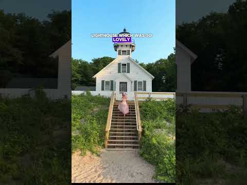
🏖️ Things to do in Traverse City Michigan 🚤 We had such a fun trip in Traverse City exploring the video thumbnail

THINGS TO DO · YOUTUBE SHORT

🏖️ Things to do in Traverse City Michigan 🚤 We had such a fun trip in Traverse City exploring the

A local activity Short shared by My Curly Adventures.

Watch on YouTube ↗

Around Traverse City

Grand Traverse County Courthouse, Traverse City
Grand Traverse County Courthouserossograph · CC BY-SA 4.0
Bryant Park, Traverse City
Bryant Park (1)Gpwitteveen · CC BY-SA 3.0
Indiana Jones and the Dial of Destiny, State Theatre, Traverse City, Michigan
Indiana Jones and the Dial of Destiny, State Theatre, Traverse City, MichiganKevin Dooley · CC BY 2.0

More outdoors near Traverse City

Questions

Where is the closest place for swimming near Traverse City?

Sleeping Bear Dunes National Lakeshore (National Park Service), about 23 miles northwest of Traverse City as the crow flies. Next are White Pine Backcountry Campground Permits (23 mi) and Platte River Campground (25 mi).

When is the best time for swimming near Traverse City?

Based on Traverse City’s average highs, June–August. Conditions at higher elevations can be much cooler.

Who manages these places?

Federal agencies including USDA Forest Service, National Park Service, National Oceanic and Atmospheric Administration. Each listing links to its official page for hours, fees, closures and current conditions.

Traverse City AI

Your Traverse City local guide
Hey there!

I'm Traverse City AI. Ask about neighborhood food, independent shops, local history or planning a visit.

AI recommendations may be inaccurate. Verify hours and prices. Questions are processed by Cloudflare. Privacy